
Collaborating with the Ministry of Agriculture to completely reengineer and modernize the Saskatchewan Crop Development Report, transforming it into a real-time data tool that continually informs agricultural policy, economic planning, and disaster preparedness.
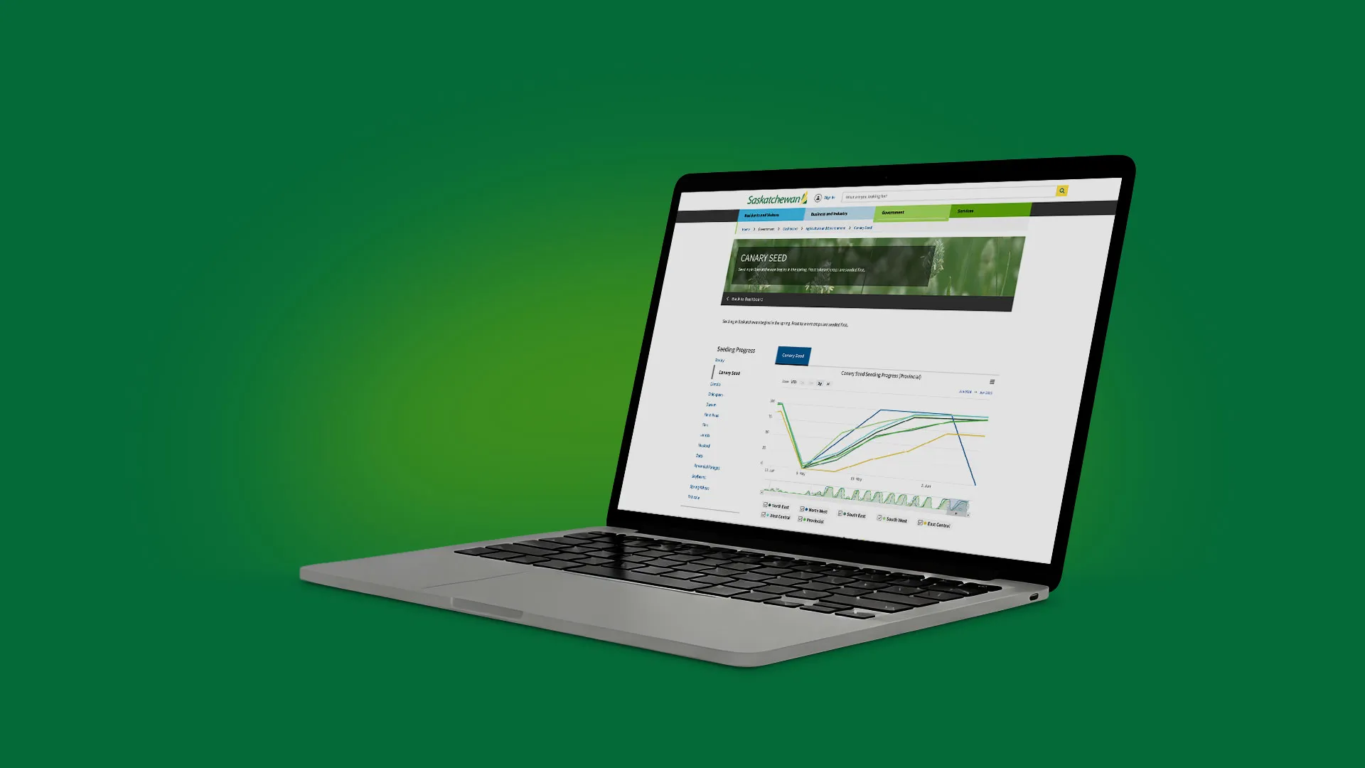
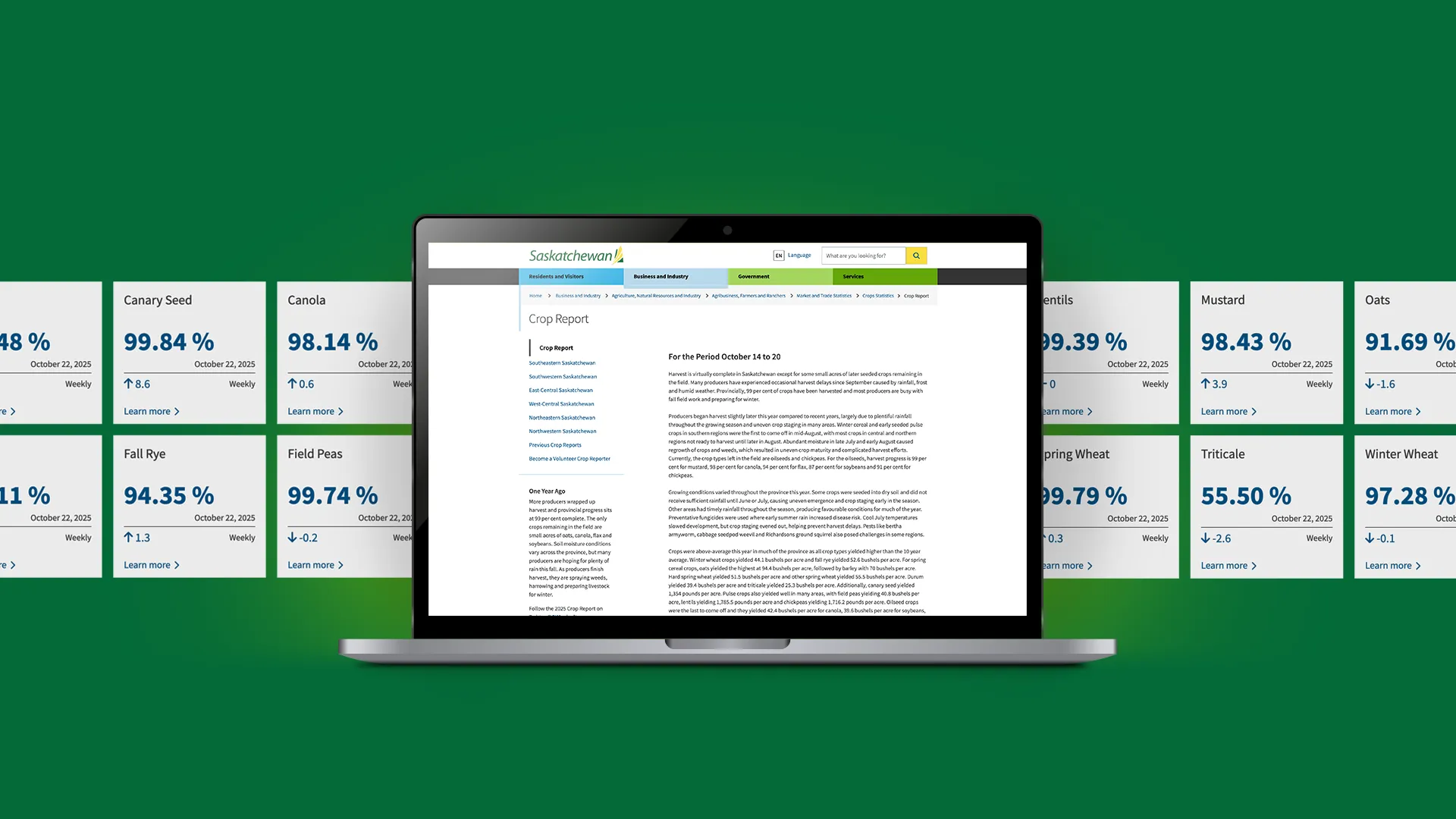
The Ministry of Agriculture’s Crop Report is one of those quiet public services that a lot depends on. Every week, it translates hundreds of field observations into a snapshot of conditions across Saskatchewan—used by internal teams, industry, and thousands of people checking the public report online.
The process behind it had become the bottleneck. Administrators were spending too much time reviewing data by hand, correcting inconsistencies, and wrestling historical information into shape. The public experience had its own gap: the data mattered, but the way it showed up—especially on maps and visual dashboards—wasn’t keeping pace with how people expect to explore information now.
zu partnered with the Ministry to modernize the system end to end: survey creation, survey management, and report creation. The guiding idea was simple—make it easier for a small group of internal users to run the whole cycle, so the public gets clearer, more timely insight.
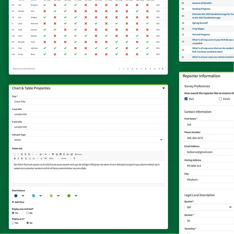
We designed and built a two-part experience: an internal administration tool for the people who run the Crop Report, and a public-facing dashboard experience intended to surface data in a more interactive way. Inside the admin tool, we introduced a structured question bank, repeatable survey workflows, and role-based access across administrators, resource agents, and data viewers. For reporters, we supported straightforward submission through unique survey links, with an offline pathway (phone/fax) that resource agents can enter on their behalf—because real-world connectivity is part of the job.
To reduce downstream cleanup, we moved data quality upstream. Validation rules (like percentage totals and format checks) help catch issues at the point of entry, instead of during late-night review. We also aligned report production with the way approvals actually happen—supporting exports that fit existing review workflows, so managers can edit and sign off without forcing a change in process mid-season.
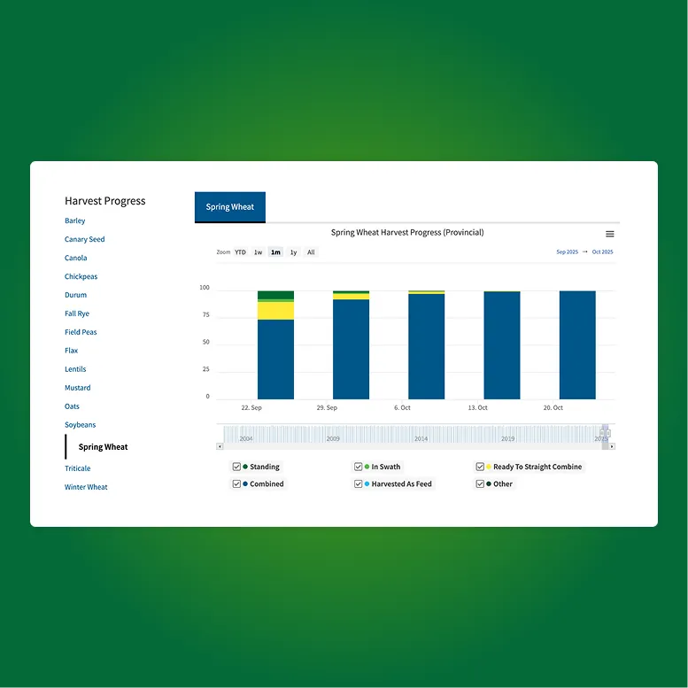
On the visualization side, we worked alongside GIS stakeholders to support integration patterns that allow map and image outputs to be generated consistently from the new data source—setting the foundation for richer public reporting over time.
The result is a more reliable reporting engine: streamlined administration, stronger data integrity, and a clearer path from field input to public insight. Built to support over 200 crop reporters and serve thousands of public users a day, the new platform helps the Ministry publish with more confidence—and spend less time fighting the workflow.
Not sure where to start? Tell us a bit about yourself and your product or project. With over 30 years of experience, we’ve seen it all. No matter what stage you’re in, we’ll find a way to help or guide you to someone who can.
Contact arrow_forward arrow_forward Book Meeting arrow_outward arrow_outward